Radio Planning Today.
Simplicity
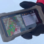
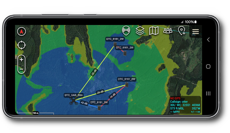
User-friendly interfaces designed for operators with options for Engineers and all radio technologies.
Cross-platform functionality to help you plan your network today.
Accuracy
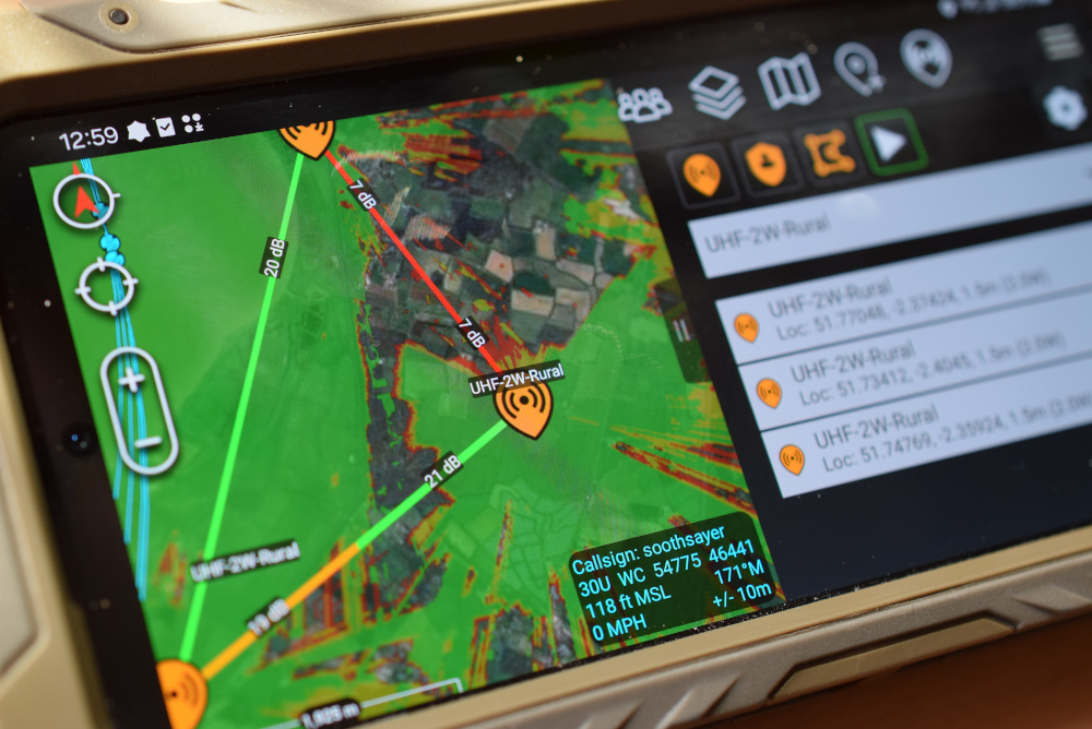
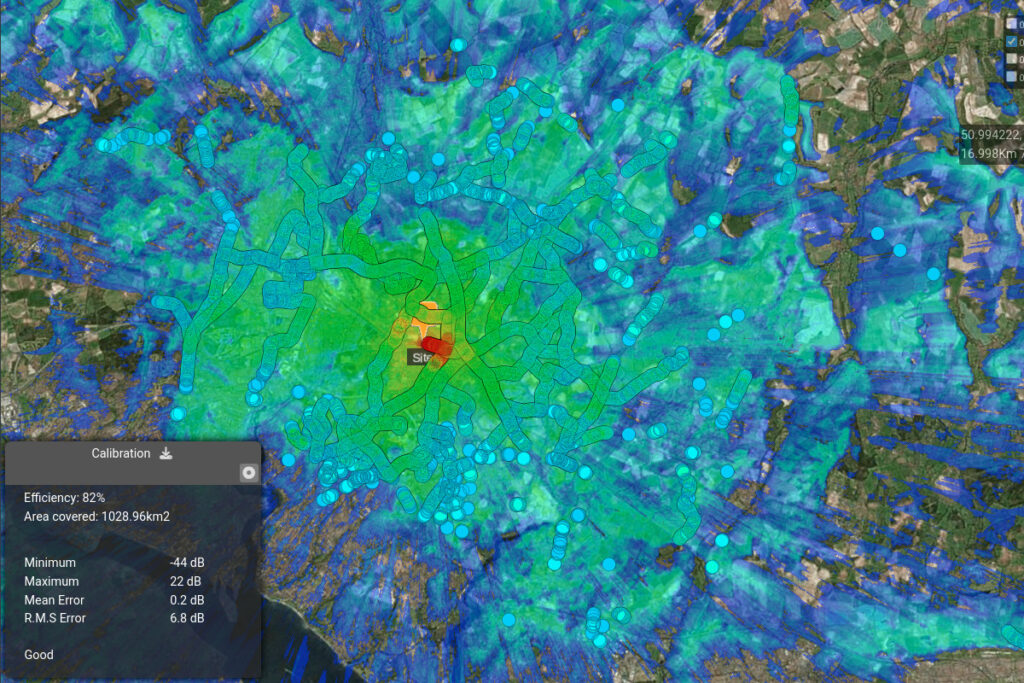
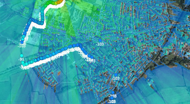
We regularly field test our software to improve it’s accuracy and have drive testing tools to calibrate diverse radios and environments.
When tuned, we are below 5dB modelling error.
Speed and economy
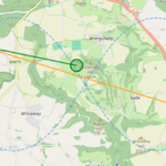
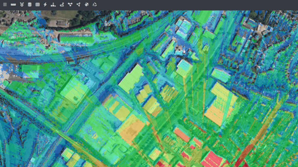
Our engines are the fastest and most economical on the market. We support 1m LiDAR, soft clutter and 3D mesh models and you only need a web browser.
We include configurable global buildings and clutter in all our plans with a clear price.
Ready now.
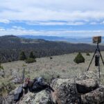
Our global high resolution data is ready now. Save yourself hours of mission preparation.
This is why we’re used everywhere for fire-fighting, search and rescue, events, security operations and disaster management.

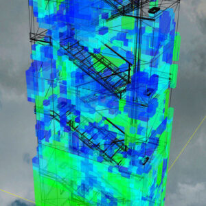
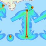
Phase Tracing
Our 3D engine can model reflections inside and outside of models with our unique Phase Tracing capability. It’s much more than a floor plan.
- Configurable materials
- Reflections
- Multi path effects
- Web based, Cross Platform
- Open standard glTF models
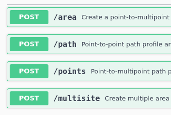
The wireless coverage API
Since 2012, we’ve perfected our API for RF propagation.
Today we serve customers worldwide, including some of the biggest names in NGOs, Telecommunications, Enterprise IT and Transportation.
We’re integrated with smart farms, network maps, drones, balloons, cows, bracelets, scanners, spectrum analyzers, aircraft, ships, CRM systems, databases, vehicle tracking APIs, robots and smart radios.
Start wireless planning today
Test for free below 10km. Tutorials are on Youtube and the documentation is here.